Da ich Karten und GPS Daten sehr interessant finde, bastle ich gerne Karten und füge sie z.B. hier auf meinen Blog ein. Prinzipiell fallen mir 3 Möglichkeiten ein, Karten in Blog Posts einzubinden. Zu jeder dieser 3 Arten stelle ich euch ein konkretes Beispiel vor und erkläre euch die Vor- und Nachteile. Externe Karten einbinden: … Continue reading Karten in Blog Posts einfügen
Tag: gis

Finding data sets PART 3: Weather, geographical and government data
This is the third post in my dataset series. The first part gave a more general overview on where to get data. In the second post I listed sources for sports, movies, music and books data. This section will give you information on how to get weather, public/governmental data and how to find GIS data. … Continue reading Finding data sets PART 3: Weather, geographical and government data
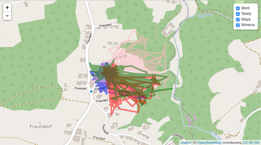
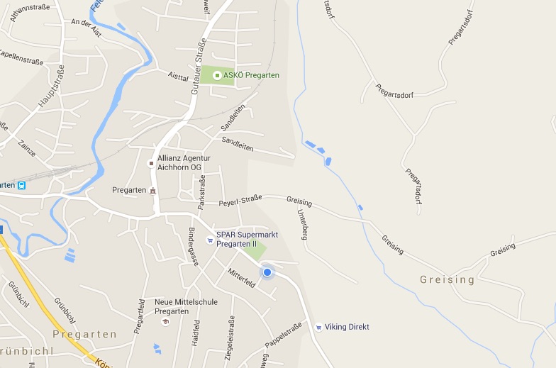
Cat tracking data collected with my Tractive GPS Pet Tracker
For about one year I have used the Tractive Pet Tracker to track my families (and my) cats, my grandmothers cats and our road trip to Sweden (German). Now I want to share that cat tracking data and some additional data with you. In this post I will Share the raw data with you Filter … Continue reading Cat tracking data collected with my Tractive GPS Pet Tracker
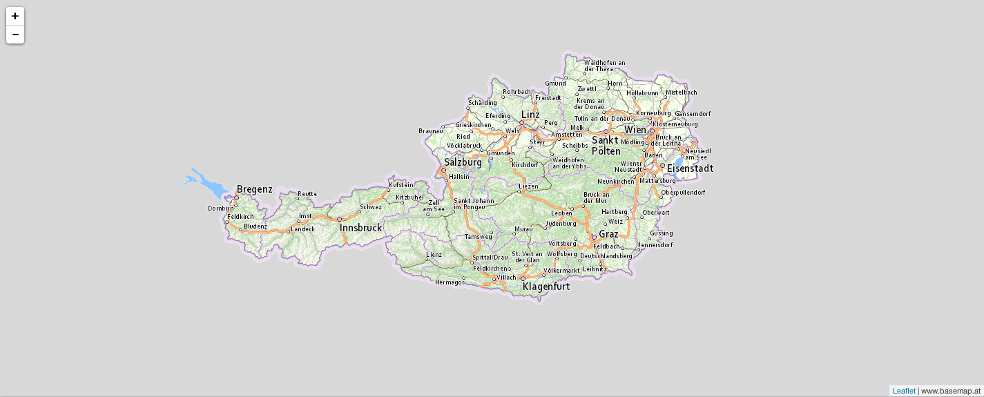
Adding basemap.at tiles to an R leaflet plot
Recently I wanted to visualise some data in a map of Austria. R Leaflet provides a pretty good looking map by default (openstreetmap.org) but I wanted to use basemap.at, which is a map for Austria and therefore probably the most accurate map available for Austria. Actually it is not very difficult but it was the … Continue reading Adding basemap.at tiles to an R leaflet plot